By: Staff Writer
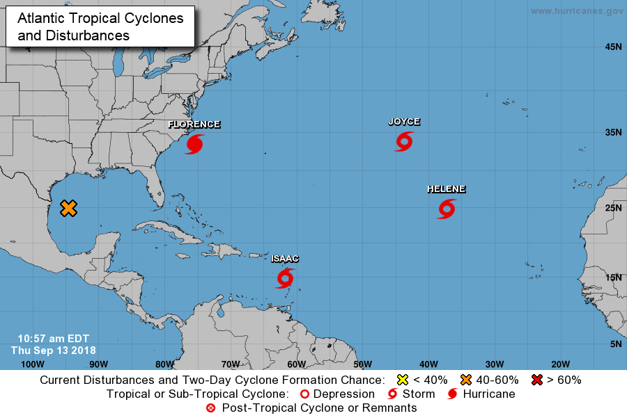
Tropical Storm Isaac at 11 am was located at 14.9N 61.8W and moving forward at 17 mph. Maximum sustained winds were at 45mph.
Isaac has shifted further South and West. As a result, based on the current track it is forecast to pass Nevis at its closest point, 152 miles or greater to the South.
There is an expectation that the strongest winds may be experienced between 2pm and 3pm. The radar images show rain bands approaching the islands thereafter. Weather conditions may deteriorate as the afternoon progresses.
The Nevis Disaster Management is advising citizens to be on the alert and stay safe.


