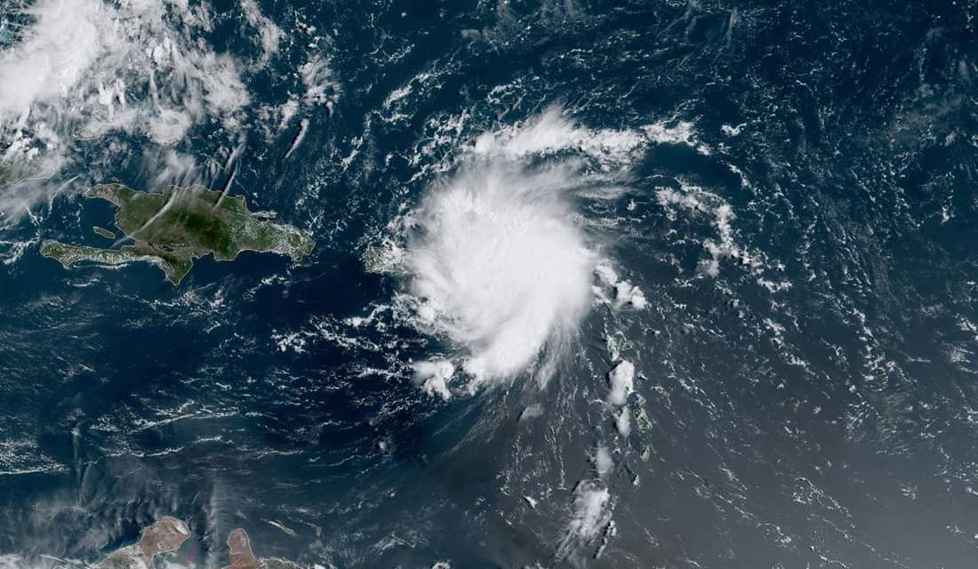
The National Hurricane Center in its 11:000 a.m. advisory issued a hurricane warning for the U.S. Virgin Islands as residents brace for Dorian’s landfall.
A Hurricane Warning means that hurricane conditions are expected somewhere within the warning area, in this case within the next 12 hours.
Presently USVI has issued territory-wide curfew which goes into effect as of noon today and lasts until daybreak Thursday. The airports are to remain open to travelers and shelters are now open territory-wide.
As per information disseminated by the National Hurricane Center, the center of Tropical Storm Dorian was located near latitude 17.5 North, longitude 64.5 West. Dorian is moving toward the northwest near 13 mph (20 km/h), and this motion is expected to continue for the next day or two. On this track, Dorian should move near the U.S. and British Virgin Islands and then continue over the open Atlantic well east of the southeastern Bahamas.
Maximum sustained winds have increased to near 70 mph (110 km/h) with higher gusts.
Dorian is forecast to become a hurricane later today and will continue to strengthen during the next few days over the Atlantic waters.
Tropical-storm-force winds extend outward up to 80 miles (130 km) primarily to the east of the center.
An Air Force plane just estimated a minimum central pressure of 999 mb (29.50 inches).


