Sourced Information
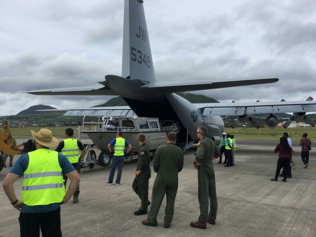
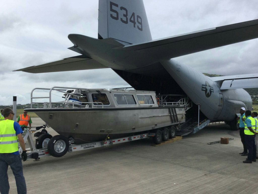
As there are no roads at sea for ships and other water crafts to move about, ship captains and other mariners depend on the work of Hydrographers and Cartographers to create and update nautical charts to navigate safely. For this reason, the Department of Maritime Affairs on behalf of the Government of St.Kitts and Nevis is currently hosting a team of US Navy Hydrographers who have commenced hydrographic surveys of the Port of Basseterre.
On completion the team will move to the Ports of Long Point and Charlestown to continue their surveys which is expected to last until the end of November. The data gathered from these surveys will then be used to update the nautical charts of St.Kitts and Nevis for the safe navigation of ships into and out of these ports.
Just imagine the failure to conduct hydrographic surveys. Ships will not be able trade to trade resulting in severe economic problems for some countries.
